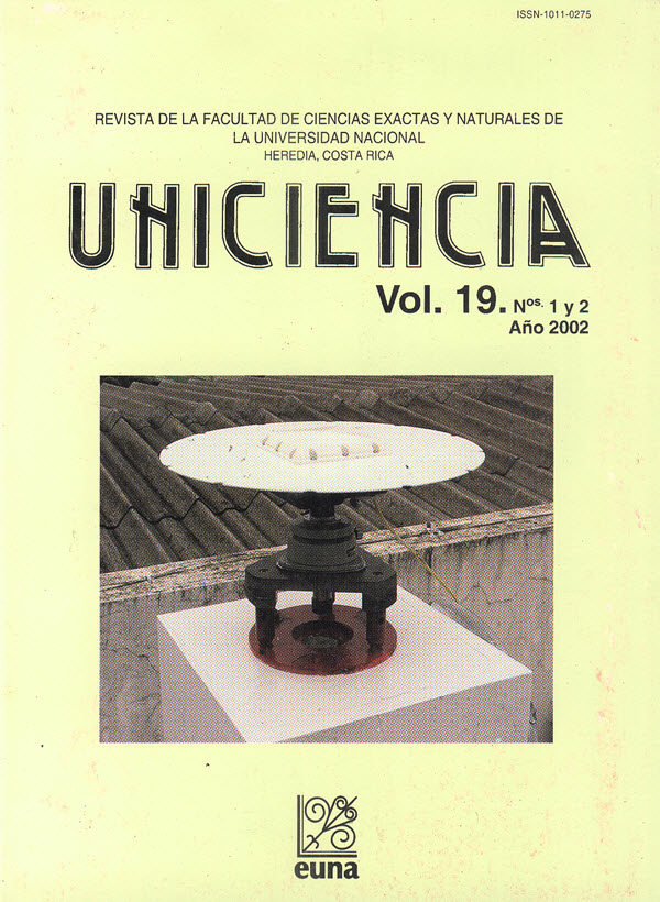
Estudio del movimiento del punto ETCG con base en mediciones GPS y dentro del sistema mundial ITRF (ING)
Abstract
The variation of the elipsoidic position of the ETCG point was determined using two differents epochs of GPS measurements, after its first tieing to The International Terrestrial Reference Frame (ITRF) in 1998. As a product of this tie, the ETCG position was obtained with high accuracy, with errors in the adjusted coordinates on the order centimeter, wich leaves open the possibility to make new measurements and to study the motion that happens in that particular point whit high accuracy.
In this investigation, two types of new links were made to the world system, by means of differential GPS measurements, one made in mid 1999, and the other, at the end of the year 2000. The results show that within the period selected, an three-dimensional motion existed in the ETCG point, however considering only the coordinates of latitude and longitude, the resultant motion was not statistically significant.
Downloads
Published
How to Cite
Issue
Section
License
Authors who publish with this journal agree to the following terms:
1. Authors guarantee the journal the right to be the first publication of the work as licensed under a Creative Commons Attribution License that allows others to share the work with an acknowledgment of the work's authorship and initial publication in this journal.
2. Authors can set separate additional agreements for non-exclusive distribution of the version of the work published in the journal (eg, place it in an institutional repository or publish it in a book), with an acknowledgment of its initial publication in this journal.
3. The authors have declared to hold all permissions to use the resources they provided in the paper (images, tables, among others) and assume full responsibility for damages to third parties.
4. The opinions expressed in the paper are the exclusive responsibility of the authors and do not necessarily represent the opinion of the editors or the Universidad Nacional.
Uniciencia Journal and all its productions are under Creative Commons Atribución-NoComercial-SinDerivadas 4.0 Unported.
There is neither fee for access nor Article Processing Charge (APC)


