
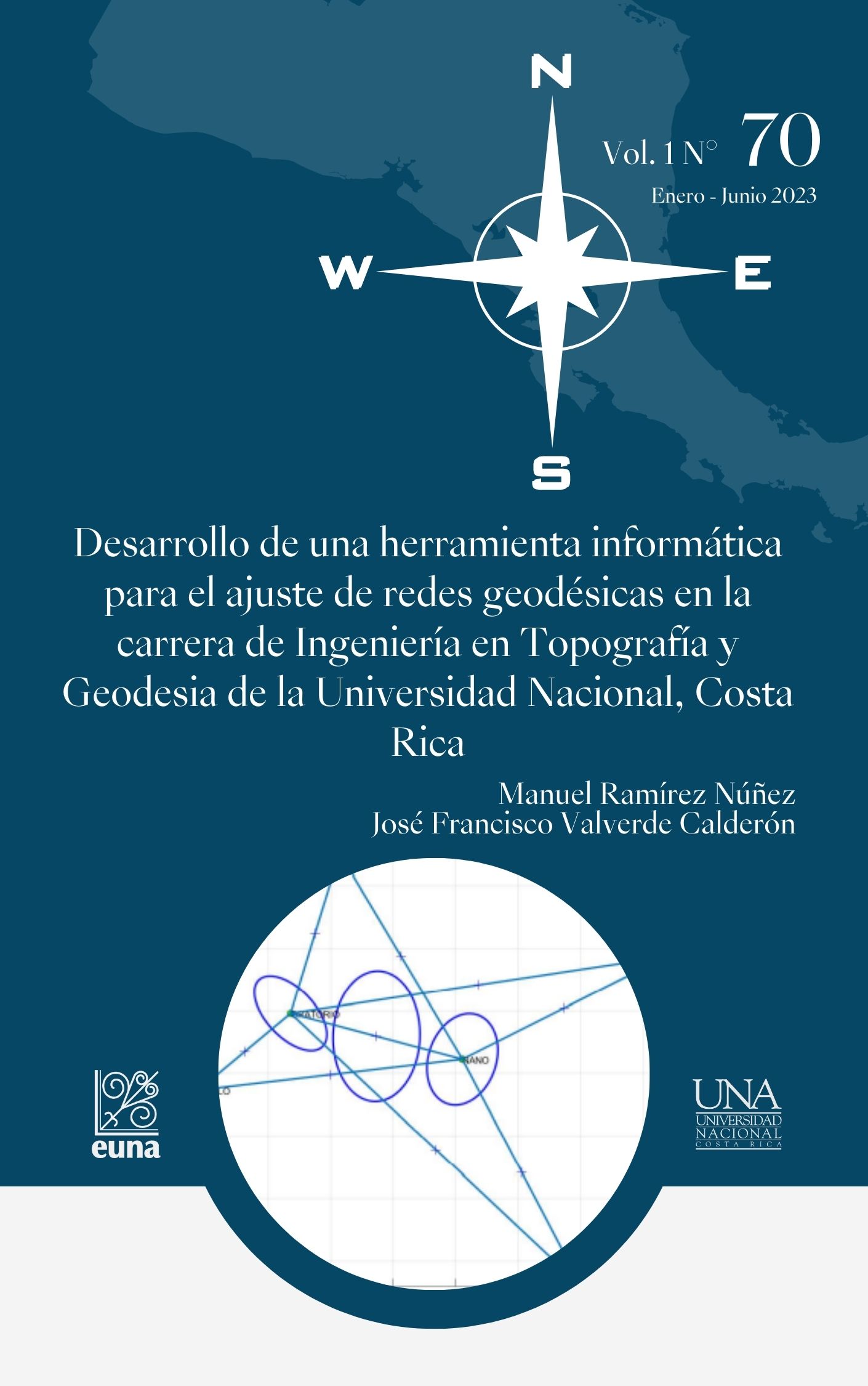
Development of a computer tool for the adjustment of geodesic networks in the career of Engineering in topography and geodesy of the Universidad Nacional, Costa Rica
DOI:
https://doi.org/10.15359/rgac.70-1.5Keywords:
Adjustment, Development, Program, Geodetic NetworksAbstract
This article has described the development of a computer program for the adjustment of geodetic networks, using the model of mediate observations. The program is the result of a research activity carried out, during the year 2021, within the School of Topography, Cadaster and Geodesy (ETCG), at the National University. The application resulting from the research provides to the ETCG with an open-source tool for the adjustment of geodetic networks, which allows improving the teaching and learning processes in the different courses of the Engineering in Topography and Geodesy career, in addition to facilitating the different research processes that are carried out in the Academic Unit. The development of a geodetic network adjustment program within the ETCG contributes to eliminating the costs associated with the purchase of licenses and strengthening the formulation of final graduation projects.
References
Caspary, W. y Rueger, J. M. (1987). Concepts of network and deformation analysis. University of New South Wales.
Chong, A. K. (1987). A robust method for multiple outliers detection in multi-parametric models. PHOTOGRAMM. ENG. REMOTE SENS. 53 (6), 617-620.
Ghilani, C. D. (2017). Adjustment computations: spatial data analysis. John Wiley & Sons.
Haidar, K. A. M. e Ibrahim, A. M. (2021). Comparison Between Gross Errors Detection Methods in Surveying Measurements. Journal of Engineering and Computer Science. 22 (1) 47-55.
Hekimoglu, S., Demirel, H., y Aydin, C. (2002). Reliability of the conventional deformation analysis methods for vertical networks.
Hofmann-Wellenhof, B., Lichtenegger, H., y Wasle, E. (2007). GNSS–global navigation satellite systems: GPS, GLONASS, Galileo, and more. Springer Science & Business Media.
Koch, K. R. (1999). Parameter estimation and hypothesis testing in linear models. Springer Science & Business Media.
Leick, A., Rapoport, L. y Tatarnikov, D. (2015). GPS satellite surveying. John Wiley & Sons.
Lehmann, R., y Voß-Böhme, A. (2017). On the statistical power of Baarda’s outlier test and some alternative. Journal of geodetic science. 7 (1), 68-78.
MATLAB. (2022). version 9.12.0.1927505 (R2022a). Natick, Massachusetts: The MathWorks Inc.
Montenbruck, O. y Eberhard, G. (2000). Satellite orbits: models, methods, and applications. Springer.
Moore, H., Olguín, V. C., y Nuño, R. M. (2007). Matlab para ingenieros (No. 620.0013 M66 2007.). Pearson Educación.
Nogueras, G. B. (2007). Octave: Una alternativa real a Matlab a coste cero. Fluid Dynamics Group, UPM, 1-7.
Rodríguez, F. A. C., de Madeiro, L. Í. B., Klein, I., y Veiga, L. A. K. (2020). Free network adjustment: Minimum inner constraints and Pseudo-inverse approaches. UD y la geomática. (15). 59-68
Verhagen, S., Teunissen, P.J. (2017). Least-Squares Estimation and Kalman Filtering. In: Teunissen, P.J., Montenbruck, O. (eds) Springer Handbook of Global Navigation Satellite Systems. Springer Handbooks. Springer, Cham. https://doi.org/10.1007/978-3-319-42928-1_22
Published
How to Cite
Issue
Section
License
Proposed policy for journals offering Open Access
Authors publishing their works in the Journal acknowledge and agree to the following terms:
a) Authors retain the copyrights to their works and guarantee the Journal the right to be the first to publish their works, under the Creative Commons License Attribution-NonCommercial-ShareAlike 4.0 International, CC BY-NC-SA 4.0 International (https://creativecommons.org/licenses/by-nc-sa/4.0/deed.es), which allows others to share works upon complying with the acknowledgment of authorship and mention of the Journal as the original publisher of the work.
b) Authors are permitted to separately establish additional agreements for the non-exclusive distribution of the official edition of the work published in the Journal (for example, authors may desire to place the work in an institutional repository or incorporate it into a book that is to published elsewhere) so long they acknowledgment to recognize the Journal as the original publisher. The aforementioned additional agreements must respect the terms of the non-profit character and sharing philosophy of the original license (CC BY-NC-SA 4.0 International, https://creativecommons.org/licenses/by-nc-sa/4.0/deed.es).
c) Authors are encouraged to archive the post-print or editor/PDF version in Open Access repositories.


 REVGEO is licensed under https://creativecommons.org/licenses/by-nc-sa/4.0/deed.es

